|
|
|
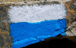
Nepal - trekking in the Annapurna area Trekking the Annapurna circuit AC and to theAnnapurna Base Camp / sanctuary ABC , A picture gallery for the the Manang Trek with Thorong la, Tilicho lake, Jomsom Trek, Poon hill and the Annapurna Base camp. The impact of the new roads on the Annapurna Circuit For many years the Annapurna Circuit was one of the most beautiful treks in the world. But in 2004 a general program was started in Nepal to connect all district headquarters by road. One road had to go to Jomsom and one to Chame. Soon it was decided that the roads should even go further to Manang and Muktinath. The constructions were simultaneously started all along way mainly following the existing (trekking) trails between the villages. Since 2008 one can drive from Pokhara directly to Muktinath. In 2022 the road is nearly completely blacktopped, partially a 4 lanes highway an you can get from Jomsom to Pokhara in 7 hours. On the Manang side the road is going to Manang and even Khangsar, but still only for jeeps. Soon it was realised by the Nepali authorities that the road had a very negative impact on trekking tourism and ACAP started to find, plan and construct new alternative trails which would avoid the road. My partner Prem Rai and i have trekked on many of these New Annapurna Trekking Trails (which they call NATT-trails) and marked several of them with the new NATT signs. red/white or blue/white NATT-signs
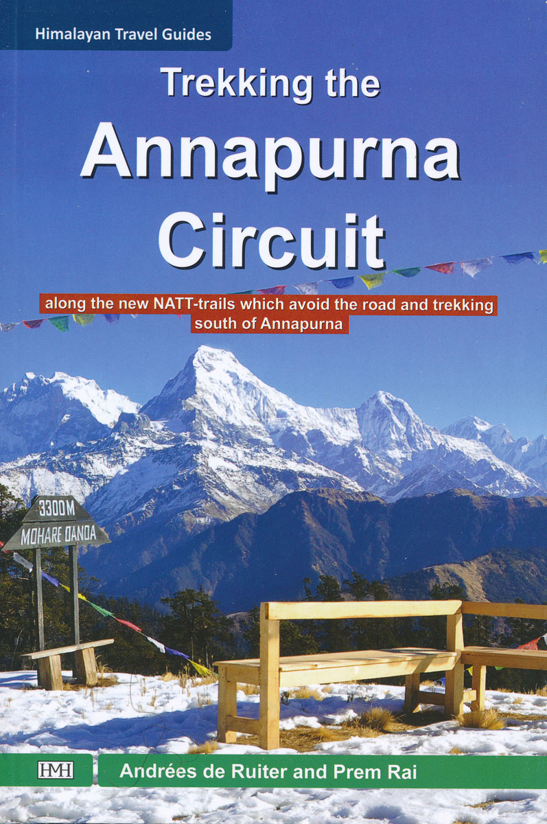
You will find a description of these trails in our guidebook helping you to trek beside and often far away from the road again enjoying one of the best trekking areas of Nepal and the world. In the book you will find a description of the various side trails avoiding the roads and going through very interesting villages with awsome and spectacular views, This will help you to plan your next Annapurna trek and enjoy many days away from the new roads. You will also find suggestions for some very rewarding side Day trips. The first edition was printed in 2011 and is still avaiable
The fourth edition was completely revised in January 2019. . it has now several additional trails descriptions and little maps. The second Edition was published as a Ebook for amazon kindle in September 2013. It will be soon be published on other Ebook systems see more at :
Trekking in the Annapurna area along in UKor directly at amazon
I hope that this will help you to plan a beautiful trek away from the road. in Germany at amazon .de Enjoy it !
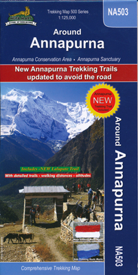
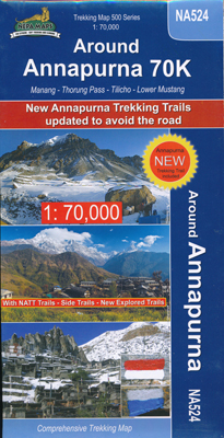
The Maps Himalayan Map house has issued two trekking maps which the new NATT trails. you can get this map at least in Kathmandu and in Pokhara and at Amazon this is the latest map showing the starting point of the Lalupate/ AC Trail in Besisahar. at Amazon This double sided map has the perfect scale of 1:70,000. it was printet in 2018 so the latest Natt-trails , which we explored in Feb. 2019 are yet not shown. It is the newly built Start of Lalupate / AC trail at the end of Besisahar. But the beginn is marked so you will find it easely.
|
